
I set out for the Ochoco Mountains in central Oregon expecting birdsong, solitude, and long nights of recording. Instead, the road delivered rain, crowded campsites, and a possibly disabled car miles away from civilization. The second leg of my summer trip had barely begun but things didn’t quite go as expected.
After leaving the Warner Mountains, I drove north through Burns, then east into the Strawberry Mountains for the night. I found a seldom-used campground tucked between a spring and a meadow. The place was alive with birdsong, so I decided to stay. I had stopped there before, only to find the meadow full of cattle. This time the cows had not arrived yet, which meant my recordings would be free of bellows and moos.
I set up a microphone near camp to record overnight. The night was quiet but for a light breeze. The birds woke early, building into a lovely dawn chorus just before first light. Even the coyotes joined in.
Testing the limits of my solar-powered camp kitchen
Over the winter, I converted my camp kitchen to solar power. The new setup included an induction burner and electric kettle in place of my two-burner Coleman stove and a 1,500-watt battery charged by solar panels or by the car while driving. I also brought a borrowed single-burner propane stove as backup.
The system worked beautifully during my March desert trip, when long driving days and abundant sunshine kept the battery charged. This trip was different. Shorter drives and dense tree cover sharply reduced the input wattage, so the propane stove saw much more use than expected. Modifications to go fully solar would involve a bigger battery, a dc-to-dc inverter attached directly to the car battery, and/or possibly fixed solar panels on the roof of the car. At this point, it’s hard to justify those expenses when I can just use a propane stove.

Into the Aldrich Mountains
Before leaving camp, I unfolded the solar panels and caught up on my notes while the battery collected a few more watts. Once both the battery and my journal were recharged, I drove north to John Day, then west and south into the Aldrich Mountains along Fields Creek. The plan was to work my way through the Aldrich Mountains, then circle into the Ochocos. I follow several backroad adventurers on YouTube and have seen several videos of the Ochocos that make the area look very inviting.
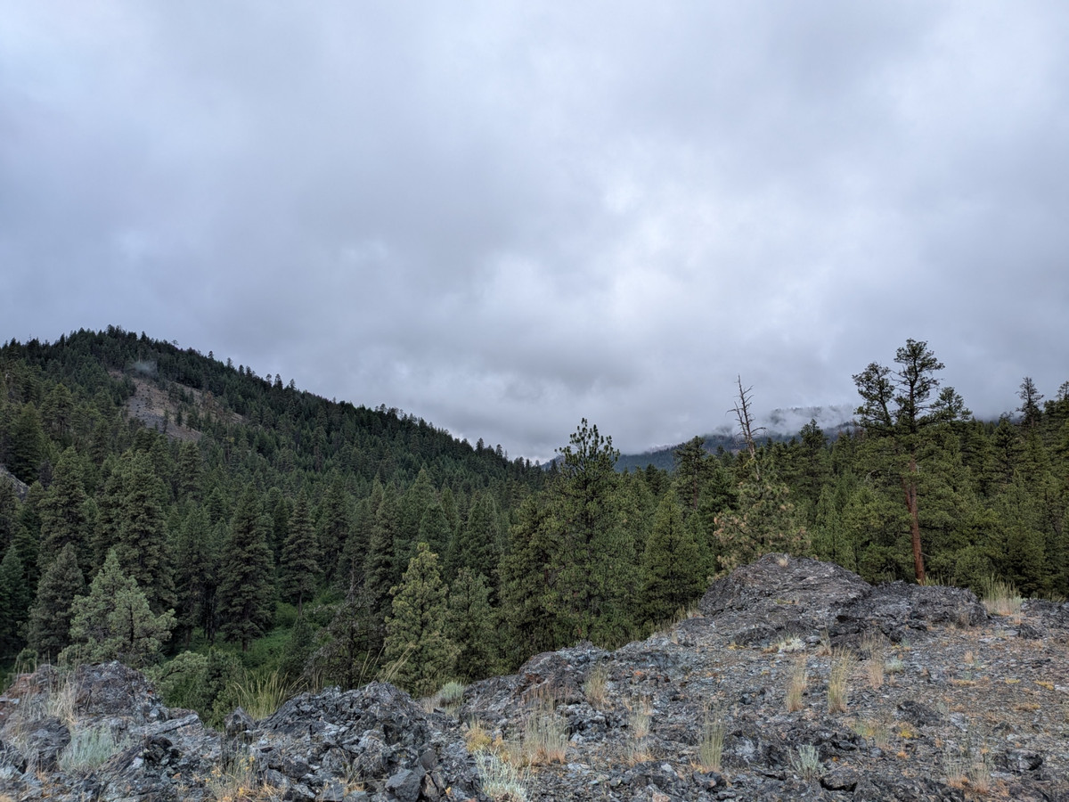
Almost immediately, the road entered dense pine-fir forest with a thick understory. Several dispersed campsites were already occupied, but farther up I found a pleasant little roadside campground. The creek and singing birds sounded wonderful, and I knew I needed to do some recording here. Yet a storm was approaching and the clouds were thickening. I wanted to leave a microphone out overnight, but the sky looked too threatening.
At first light, the rain still had not arrived, so I placed a microphone near the stream and went back to bed. Just half an hour later, I was awakened by the sound of raindrops on the roof of the car. I retrieved the gear, but not before capturing a pretty nice recording of the early dawn chorus.
Murderer’s Creek
Light, steady rain continued for the next few hours. When it eased, I drove farther up the road toward some campgrounds shown on my map. I turned in on a road along Murderer’s Creek, reportedly named for an incident in which miners were killed by Paiute people.
Most of the dispersed sites along the creek were occupied, but Oregon Mine Campground was empty. I arrived just as the clouds broke and sunlight returned. Large ponderosa pines shaded a dense understory of wild rose, while willow and alder lined the nearby stream. The birds were singing wildly.
I set out the solar panels, and watched a Northern Flicker carry food to its nestlings. I placed a microphone along the creek while thunder rumbled in the distance. It seemed like an ideal place for overnight and dawn recordings.

The U.S. Forest Service website described the campground as a good place for solitude, seldom used outside hunting season. Either things had changed or not everyone got the memo. Late that afternoon, three large pickup trucks arrived and occupied half of the campground’s five sites. Their group also had at least one loose dog. My dog, Sage, has been attacked several times by loose dogs and is terrified of them. I packed up and continued up the road in search of another dispersed campsite, where Sage would be safe from canine disrupters and I didn’t have to worry about human voices on my recordings.
Warning Lights and a Wet Weekend
As I drove up the canyon, a sign for the Cedar Botanical Area caught my attention, so I turned uphill to investigate. Partway up, the dashboard lit up with warnings for the brakes and automatic emergency braking system. The car felt normal, but I was miles from civilization with no cell service. I turned around and found a campsite along the creek.
It was Friday evening, which meant I was effectively stuck until Monday. The car was still running fine, so I felt no need to use my satellite communicator to call for help (which was a good thing, as the trees and cloud cover interfered with satellite communication). There are certainly worse places to be stranded than a beautiful forest beside a creek.
Rain fell off and on all weekend. Mostly on. Compared with Oregon Mine Campground, the birds were subdued and the creek was less pleasant to record. I made a few short recordings, but none matched what I had captured at the campground. By the end of the weekend, the car was starting to feel very cramped.
The nearly constant cloud cover and thick forest also made charging difficult, even with 320 watts of solar panels. I was very glad I had brought the propane stove, as I had pushed the limits of my solar-powered kitchen in a cloudy, thick forest.
A Change of Plans
On Monday morning, I headed north rather than continuing south and west into the Ochocos. The warning lights stayed off at first, so I made a plan: if I reached Highway 26 without seeing them, I would turn back toward Burns, head south and look for sunshine. If the lights came on, I would head west for Bend.
About 45 minutes into the drive, after I had made the turn toward Burns, the lights returned. That pattern continued for the rest of the trip: roughly 45 minutes of driving, then the warnings appeared, with no noticeable change in handling or braking. Because I had seen warning lights triggered by dusty sensors before, I suspected the brake sensors were simply dirty.
A couple of weeks later, after I got home and washed all the cow manure from the underside of the car (see my adventures with the cattle drive), the warnings disappeared and did not return.
Back to the Sunshine
Once I left the Aldrich Mountains, I was back in sunshine. I was disappointed not to have reached the Ochoco Mountains, but by then I mostly wanted to dry out. I thought back to the videos of the Ochocos I had watched. Come to think of it, they included a lot of rain.
We’ll pick up the journey next time.